About
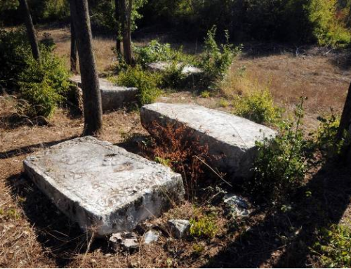
A total of 45 monuments are decorated. The decorations are made in sunk relief except for a few which were carved into the tombstones. The most common motifs are scrolling vines with trefoils, cable twist and plain stylized crosses, followed by bordures and edgings of parallel diagonal lines and the figures of a deer, a horse, a lion and birds, along with a deer hunt scene. Next are vodenice (watermills), arcades, a crescent moon, a rosette, a circular wreath, and the figure of a man with a staff, a hand with a sword, a horseman and a woman, a man with a sword and shield, and a wheel-dance. No inscriptions have been recorded.
The village of Bitunja was mentioned in the documents of the Dubrovnik Archives from 1442 in connection with the cattle raiding by twelve men led by Grgur Šimraković. The people of nobleman Peter Šimraković were involved in a robbery in 1449, together with people from Bitunja.
The area of Bitunja belonged to the medieval county of Dubrava, which bordered with the counties of Dabar, Popovo, Žaba, Luke and Večerić. The county of Dubrava was mentioned in the Dubrovnik document of 13 October 1285 and subsequently in several documents from 1405, 1406, 1443, 1444 and 1449. Gornja Bitunja (Zabrđe) is located near the south-east border of the county and is connected with Ljubinje via a mountain road. It is not known whether the Šimrakovićes as a noble estate-owning family from the neighbouring county of Žaba had some possessions in Bitunja. The documents from the period around 1470 contained no direct information about the settlement of Bitunja. However, combined with the inscriptions on the tombstones, they provide much information about the Donji Vlasi (Lower Vlachs) from the area of Stolac, Ljubinje and Bileća municipalities.
In the Name List of sandjaks in the vilayet of Herzegovina from the 1475-1477 period, Bitunja was mentioned as a winter resort in the Jamaat of Herak, son of Radonja as well as a winter resort of the Jamaat of Đuran, son of Vladislav with 16 homes in Blagaj kadiluk.
The stećci at Zabrđe last over a relatively long period. There used to be a church at the necropolis Zakuk surrounded by nine stećci. There are no data about the time of erection of this church. Judging by the layout of stećci around the church, it may be concluded that the church had already been built at the time when the necropolis was active in the 14th and 15th century.
The necropolis Potkuk has more than 200 tombstones, some of which are decorated. We can assume that this was the necropolis of a larger community. The necropolis Baba is specific given its famous decorative motifs present at the necropolises throughout Eastern Herzegovina, especially the tall chests narrow at the bottom and decorated with arcades. Baba was probably a family necropolis, like the one in Lokve. It is difficult to establish, by decorations or shapes, the chronology of the necropolises, given that none of them has monumental crosses, but they have carved crosses and shields. At the beginning of the 1960-ies, stećci were recorded in the Stolac area, and all four necropolises in Gornja Bitunja (Upper Bitunja) were recorded. No research or conservation works have been carried out.
Location
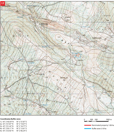
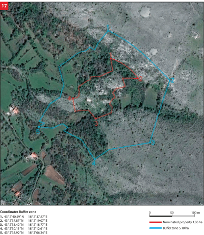
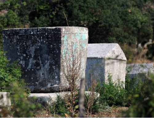
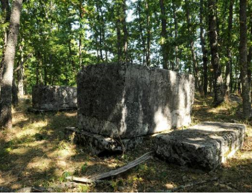
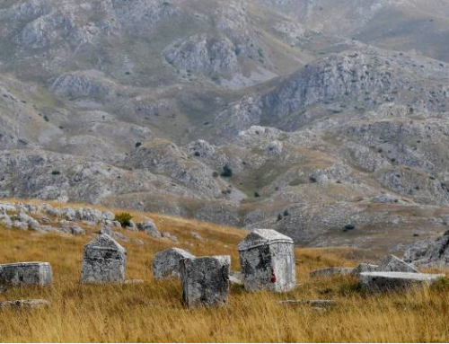
Stećci are placed on flat ground below the south side of Kuk. They cover an area of 70 x 40 meters and extend to the east-west direction. There are two major groups of stećci at the necropolis: one on the east and the other one on the west side of the necropolis. The southern part of the necropolis is lined with a hedge behind which two smaller groups of stećci and one isolated stećak are found. Two isolated smaller groups of stećci are also found on the northern edge of the necropolis.
State of the location
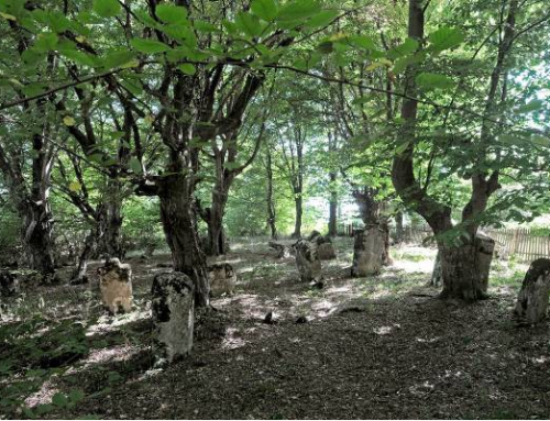
The condition of the site is not satisfactory. Access to the area and the area itself are covered with wild vegetation, which is why it is hardly passable; the stećci have been damaged due to long-term impact of environmental factors and presence of plant organisms, lichen and moss. There is no construction in the immediate vicinity. In 2011 the entire site underwent geodetic survey supported with photographs of individual stećci thus enabling for implementation of a monitoring process.
FAQ
The current tourist offer for visitors does not meet the standard requirements, i.e. apart from sightseeing there is nothing else available. The access road to the site is in very poor condition. There are no signs posted, thus it is not possible to visit the site without the help of local residents or employees of the municipality. There is no information about visits to the site.
